

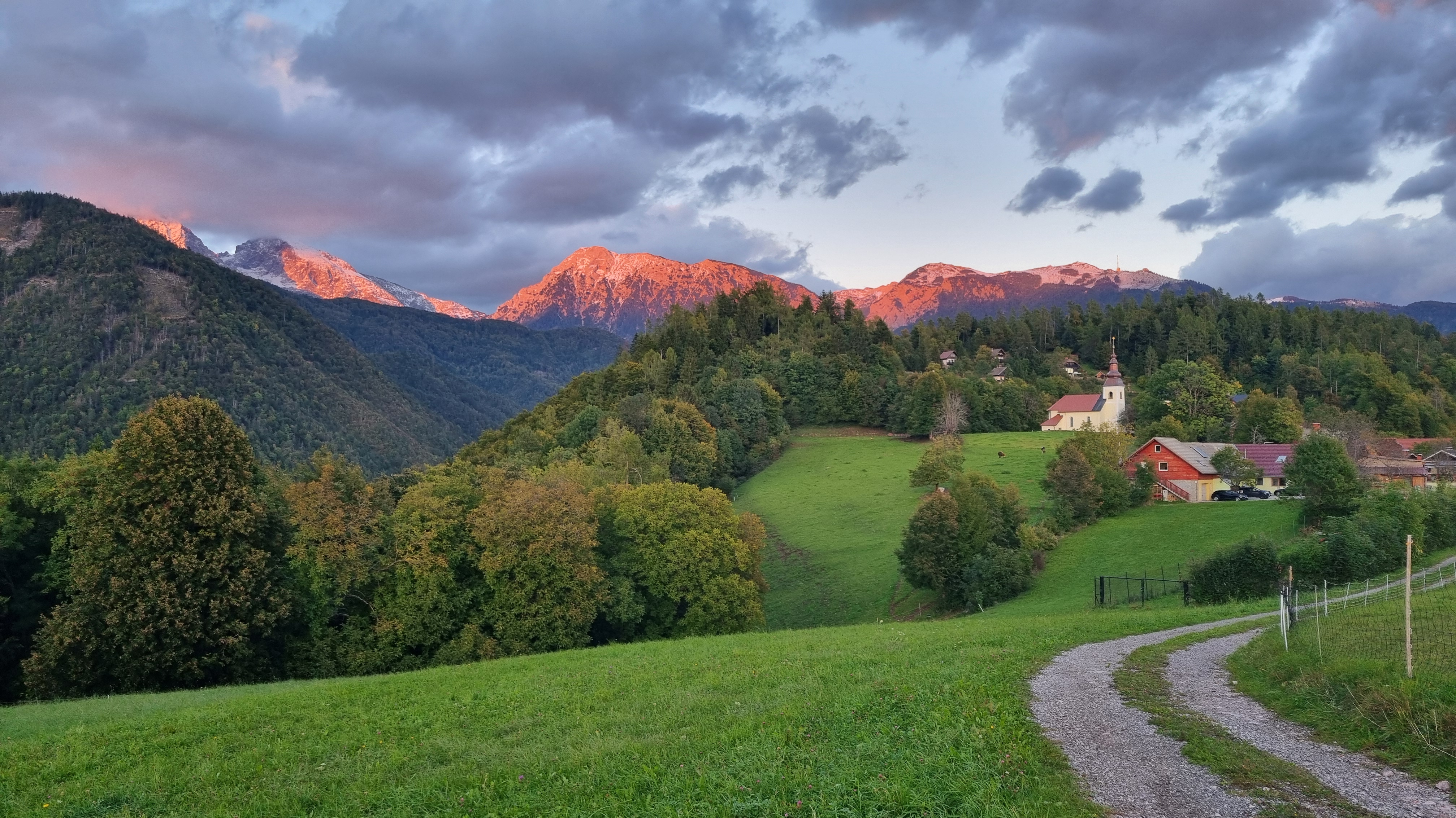
Tupaliče
·
Status of the counting System:
Active
Conquer Možjanca.
Follow the action on the climb to Možjanca, check the latest cyclist count data, and join us in promoting sustainable mobility in Slovenia.
Live Cyclist Count
Real-time counts, updated throughout the day.

Sustainable Mobility
The cyclist counting system provides data that helps local communities develop a safer, more accessible, and more sustainable transport environment.
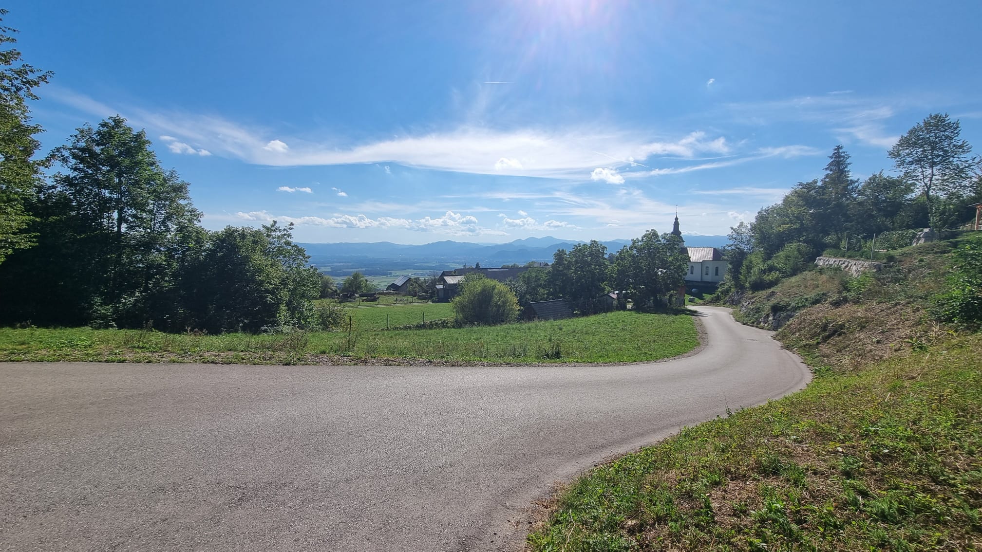
Sustainable Tourism
Cycling data supports sustainable tourism and helps keep routes open and enjoyable for every visitor.
Green Vision
Every cyclist tracked is a step toward lower emissions, cleaner air and a healthier life.
-24%
Estimated CO₂ Impact
-
Green Transport
Promotes cycling as a primary mode of transport, helping reduce car dependency and improve local air quality.
-
Healthier Lifestyles
Measuring active travel patterns helps communities encourage regular physical activity for people of all ages.
-
Lower Emissions
Each counted cyclist means one less car journey.
KT3
Možjanca
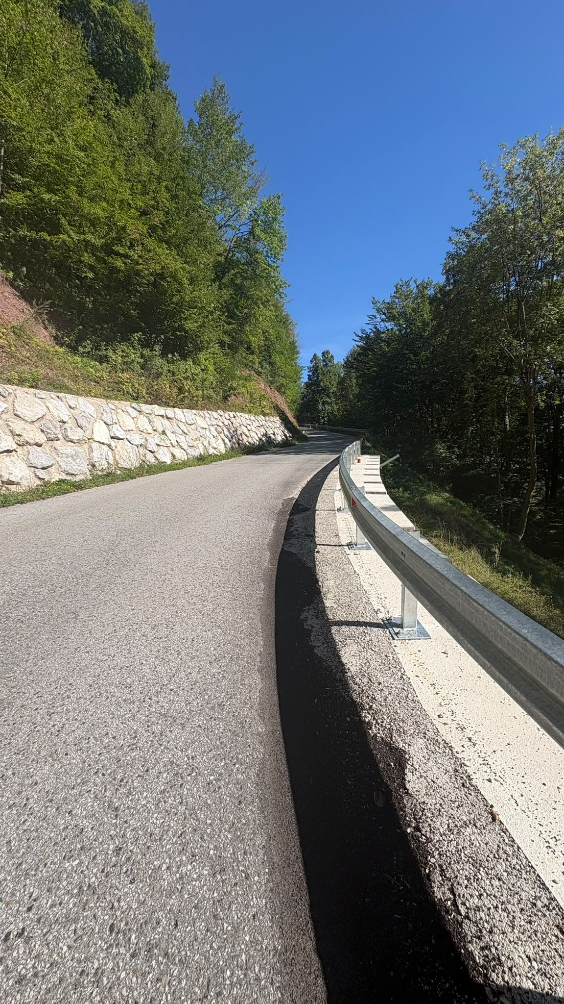
A picturesque climb through the forests of Gorenjska. Discover the route that draws cyclists back season after season.
Start Tupaliče Možjanca Summit
- Distance
- 2 km
- Summit Altitude
- 681 m
- Elevation Gain
- 211 m
- Avg Gradient
- 10.4 %
- Max Gradient
- 14 %
Target time
min
sec
Required speed: 4.0 km/h
Today's Conditions
Current weather and activity data from the summit station.
13:45
Avg Ascent Time
11:00–16:00
Peak Activity Hours
5
/5
Current Traffic
Very busy
Ready to leave your mark on the climb?
Download the official route file and start planning your climb up Možjanca.